
Live traffic, public toilets, water fountains and fares on one Hong Kong map
HK Utility Map is a free map for everyday life in Hong Kong, with nothing to install and no login. It opens on live traffic: which roads are congested, where incidents have been reported, how long the three harbour crossings are taking and how busy each boundary control point is. The view refreshes itself every two minutes.
To see what is around you, type an address or tap the locate button. The map lists the public toilets, water fountains, EV chargers, car parks, convenience stores and post offices within 500 metres, with the distance to each.
Before you set off, work out the cost with the taxi fare calculator or the MTR fare calculator, or check bus arrival times. Drivers can go straight to live traffic conditions and border crossing waiting times, which have pages of their own. Everything comes from official sources, including the government open data portal data.gov.hk, the Transport Department and the Immigration Department.
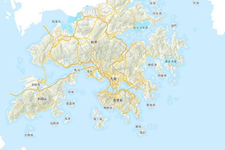 © 地圖由地政總署提供 Map from Lands Department